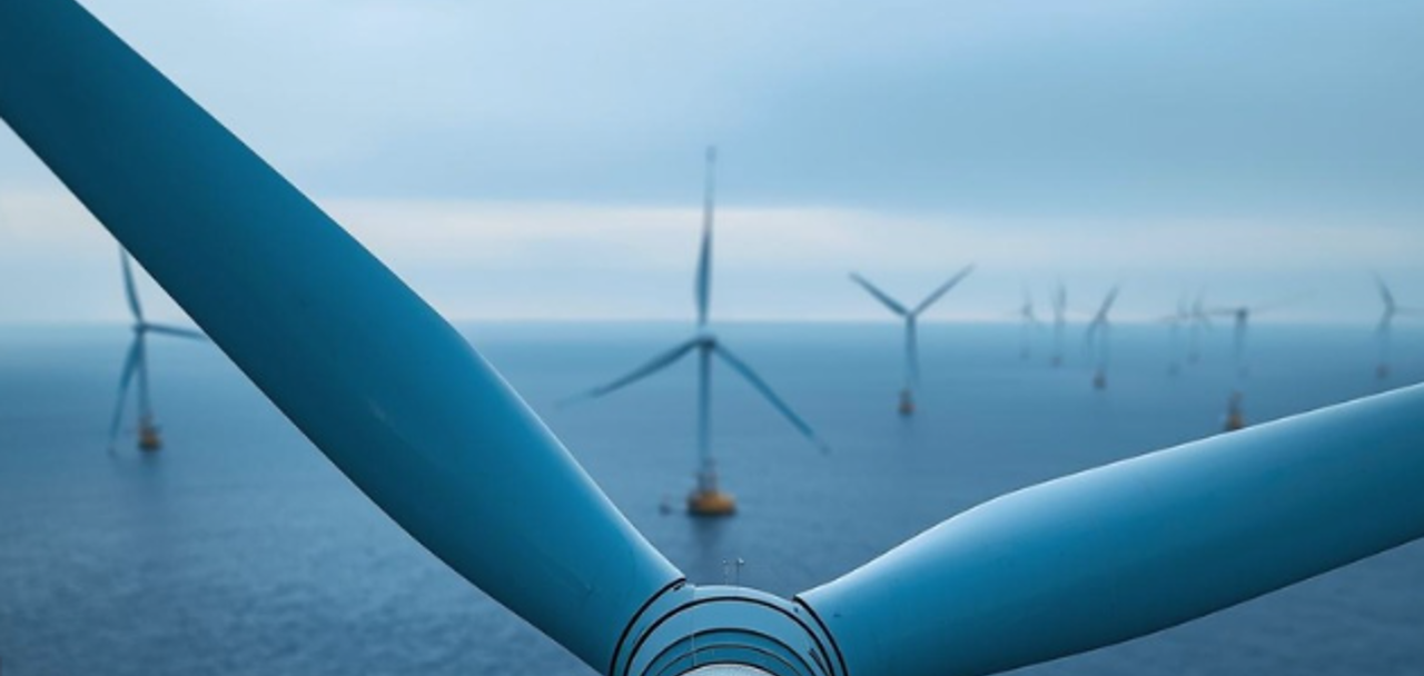
The problem
Floating wind engineering is fragmented by design
Offshore floating wind projects span several interconnected engineering disciplines — yet most teams work in silos, stitching together spreadsheets, GIS tools and one-off scripts. The result is rework, version mismatches and weeks lost before design even begins.
Morie Analytics addresses this through a combination of engineering consultancy, purpose-built software and structured training programs — covering the full chain from site intelligence to cable design.
Our system
Integrated workflow of engineering disciplines
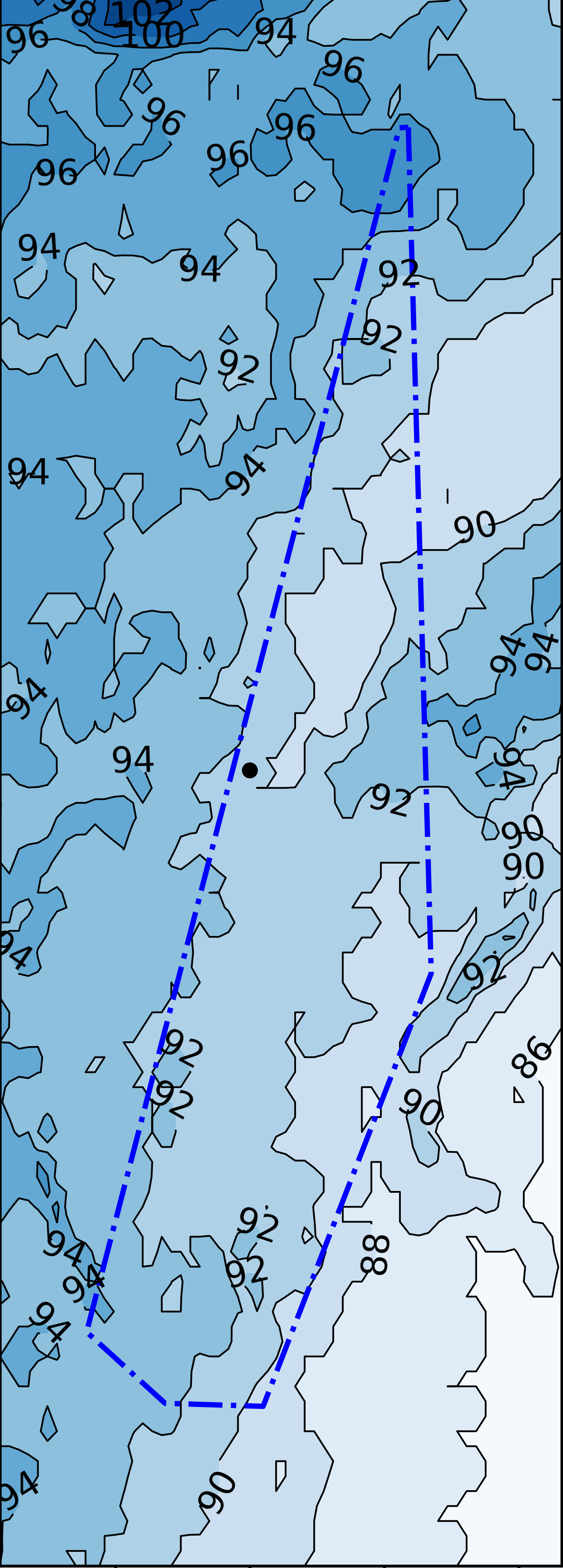
Site Intelligence
Transform marine data into engineering-ready inputs for global offshore wind analysis.
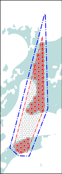
Layout Engineering
Generate optimized floating wind farm layouts using constraint-driven spatial design.
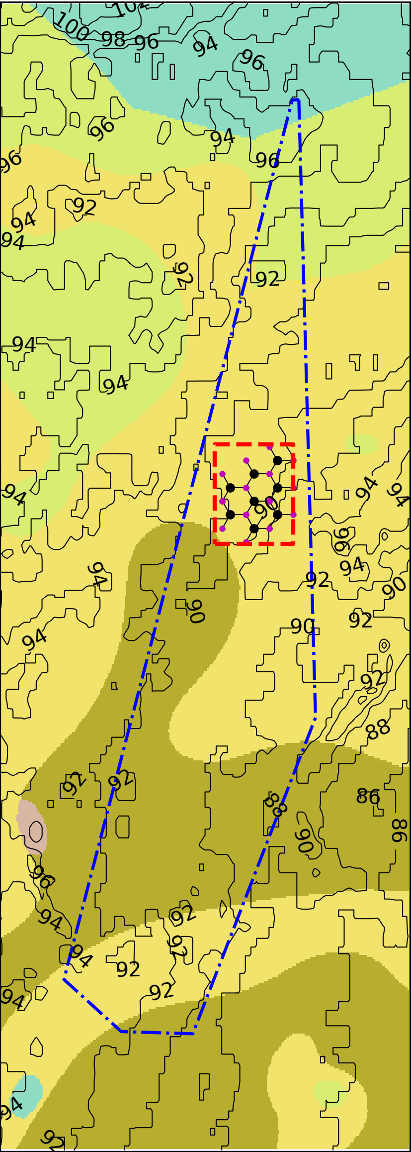
Subsurface & Anchor Design
Evaluate soil spatial variability and anchor performance under coupled offshore loading conditions.
Integrated System Design
Coupled mooring, anchor and cable analysis systems integrated into a unified engineering workflow.
The workflow
A connected engineering pipeline — end to end
Seven modular tools covering the full floating wind design chain.
-
01

Site
Define project boundaries and extract bathymetry and environmental data automatically.
-
02

Layout
Optimised turbine placement within site constraints and environmental loading.
-
03

Soil
Multi-layer geotechnical model builder and spatial interpolation across the site footprint.
-
04

Mooring
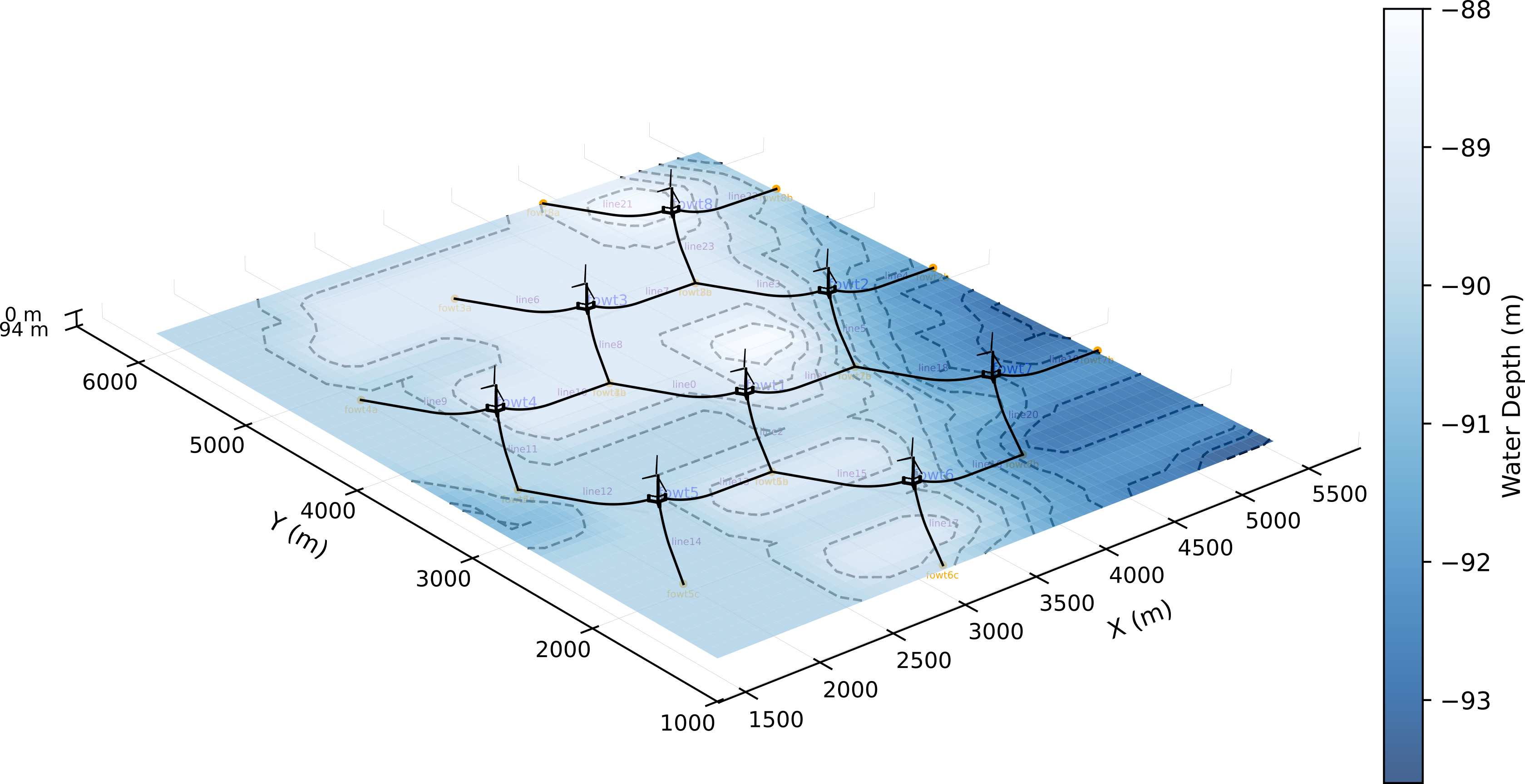
Catenary and taut-leg mooring analysis with shared-anchor configurations.
-
05

Anchor
Main anchor concepts. Multi-layer soil profiles. 3D real-time geometry viewer. Factor-of-safety design checks.
-
06

Cable
Dynamic cable design and optimization. Inter-array and export cable routing and sizing.
-
07

Atlas
Integrated project atlas — full-site anchor mapping, cost estimation and comparison views.